
Map of Batangas City, Batangas
The City of Batangas, capital of the province and, therefore, seat of the provincial government, is the largest in Batangas in terms of land area with a total of 28,296 hectares. It is home to a busy international port which serves as a gateway to the south of the Philippine Islands as well as the rest of the world.
Batangas City, which has a total of 105 barangays in all, is not only classified as a first-class component city, it is also known as the lone legislative District V of Batangas. By land, Batangas City can be reached directly from Manila via the Southern Tagalog Arterial Road. Population-wise, Batangas City is now the province's second most populous with a total of 351,437 inhabitants.
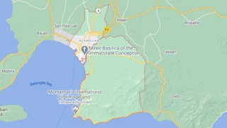
To see an interactive map of Batangas City, please click on the static image below. You will be redirected to Google Maps using a new browser tab.
Batangas City, which has a total of 105 barangays in all, is not only classified as a first-class component city, it is also known as the lone legislative District V of Batangas. By land, Batangas City can be reached directly from Manila via the Southern Tagalog Arterial Road. Population-wise, Batangas City is now the province's second most populous with a total of 351,437 inhabitants.
To see an interactive map of Batangas City, please click on the static image below. You will be redirected to Google Maps using a new browser tab.