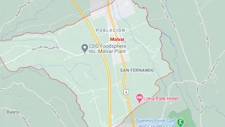
Map of Malvar, Batangas
The town of Malvar is among the smallest of the Province of Batangas, with a total land area of only 3,300 hectares distributed among 15 barangays. It is sandwiched between the cities of Tanauan to its north and Lipa to its south.
Malvar's population, according to the 2020 Philippine Census, was 64,379. The town is part of the Province of Batangas’ 3rd legislative district.
Malvar used to be part of the town of Lipa during the Spanish colonial era and its thickly forested areas made it an ideal hiding place for “tulisanes” or brigands. It separated from Lipa in 1919 during the American colonial era. The town can be reached by road from Manila via the Southern Tagalog Arterial Road.
To see a map of the municipality, click on the static image below. You wiil be redirected to an interactive map on Google Maps using a new browser tab.