
Map of Rosario, Batangas
According to some accounts, the town of Rosario was originally in what is present-day Lobo. Persistent raids by pirates forced the inhabitants of the settlement inland, and whilst retreating they turned to the praying of the Holy Rosary. This, according to folklore, was how Rosario got its name. In the present day, Rosario is a 1st income class municipality with a total land area of 22,688 hectares, third largest in Batangas. According to the 2020 Philippine Census, its population was 128,352.
Rosario has 48 barangays in all and is part of the 4th legislative district of Batangas. It can be reached by road from Manila via the Southern Tagalog Arterial Road through Lipa City and Padre Garcia; or via Ibaan from the STAR.
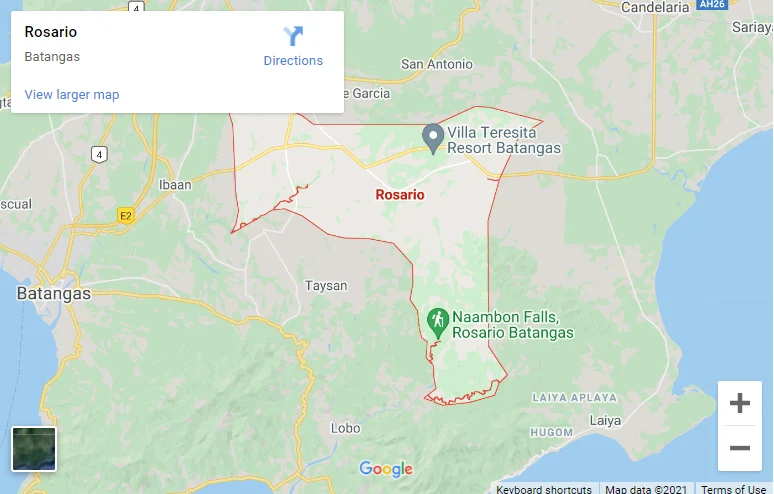
To see an interactive map of Rosario, please click on the static image below. You will be redirected to Google Maps using a new browser tab.
Rosario has 48 barangays in all and is part of the 4th legislative district of Batangas. It can be reached by road from Manila via the Southern Tagalog Arterial Road through Lipa City and Padre Garcia; or via Ibaan from the STAR.
To see an interactive map of Rosario, please click on the static image below. You will be redirected to Google Maps using a new browser tab.