
Map of Santo Tomas City, Batangas
The City of Santo Tomas is a 1st class component city of Batangas and is also classified as agro-industrial, with its various manufacturing and industrial plants and commercial establishments as well as agricultural production. The town is historically significant as the birthplace of the revolutionary hero General Miguel Malvar, the last Filipino general to surrender during the Philippine-American War.
Santo Tomas has a fairly big territory amounting to 9,541 hectares and a 2020 population of 218,500, third-highest in the province behind Lipa and Batangas City. It can be reached by road from Manila via the Southern Tagalog Arterial Road, with an exit leading directly to the town.
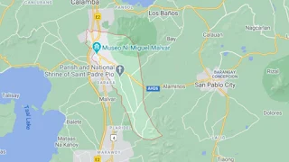
To see an interactive map of Santo Tomas City, please click on the static image below. You will be redirected to Google Maps using a new browser tab.
Santo Tomas has a fairly big territory amounting to 9,541 hectares and a 2020 population of 218,500, third-highest in the province behind Lipa and Batangas City. It can be reached by road from Manila via the Southern Tagalog Arterial Road, with an exit leading directly to the town.
To see an interactive map of Santo Tomas City, please click on the static image below. You will be redirected to Google Maps using a new browser tab.