
Map of Laurel, Batangas
Laurel is a lakeside town which part of the 3rd legislative district of the Province of Batangas. Prior to 1961, it was part of the town of Talisay and, even long before that, also of the town of Taal. In the present day, it is a 3rd income class town with 23 barangays and is part of the Province of Batangas’ 3rd legislative district. Its land area is 7,129 hectares and its 2020 population was 43,210.
The town is also known for eco-tourism, with many resorts along the shores of the lake; and its inhabitants’ primary preoccupations are fishing and farming. Laurel can be reached by road from Manila via the Southern Tagalog Arterial Road through Tanauan City or via Tagaytay.
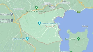
To see an interactive map of Laurel, please click on the static image below. You will be redirected to Google Maps using a new browser tab.
The town is also known for eco-tourism, with many resorts along the shores of the lake; and its inhabitants’ primary preoccupations are fishing and farming. Laurel can be reached by road from Manila via the Southern Tagalog Arterial Road through Tanauan City or via Tagaytay.
To see an interactive map of Laurel, please click on the static image below. You will be redirected to Google Maps using a new browser tab.