
Map of Padre Garcia, Batangas
The town of Padre Garcia, sometimes loosely referred to as the “Livestock Capital of the Philippines,” used to be the location of the old town of Rosario before the latter moved to where it is in the present day. It has a total land area of 4,151 hectares and a population of 51,853 as per the 2020 Philippine Census. The town has 18 barangays and is part of the Province of Batangas’ 4th district.
Padre Garcia is soon to be linked by a diversion road that will link it directly to the City of Lipa. The town can be reached by road from Manila via the Southern Tagalog Arterial Road through Lipa City.
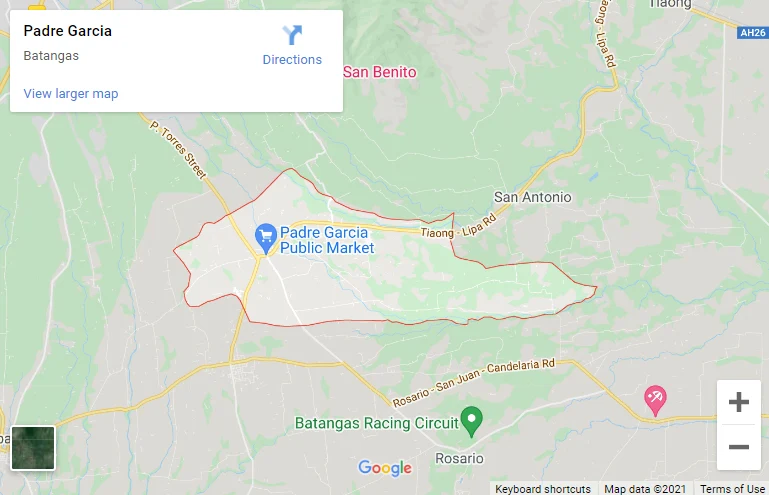
To see an interactive map of Padre Garcia, please click on the static image below. You will be redirected to Google Maps using a new browser tab.
Padre Garcia is soon to be linked by a diversion road that will link it directly to the City of Lipa. The town can be reached by road from Manila via the Southern Tagalog Arterial Road through Lipa City.
To see an interactive map of Padre Garcia, please click on the static image below. You will be redirected to Google Maps using a new browser tab.