
Map of Tuy, Batangas
The Municipality of Tuy, which lies between Nasugbu and Balayan, is classified as a 3rd income class municipality with a land area of 9,465 hectares and a 2020 population of 46,519 as per the 2020 Philippine Census. It is made up of 22 barangays and is part of the 1st legislative district of the Province of Batangas.
While the poblacion or town center of Tuy is on flatlands, a large portion of its overall territory is upland. It can be reached by road from Manila via Tagaytay through Nasugbu.
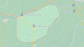
To see an interactive map of Tuy, please click on the static image below. You will be redirected to Google Maps using a new browser tab.
While the poblacion or town center of Tuy is on flatlands, a large portion of its overall territory is upland. It can be reached by road from Manila via Tagaytay through Nasugbu.
To see an interactive map of Tuy, please click on the static image below. You will be redirected to Google Maps using a new browser tab.