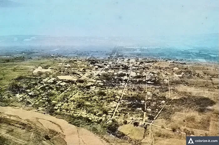
Aerial Photograph of Batangas City 1923
The photograph below was downloaded from the United States National Archives with the original caption of “Area 18. Philippine Islands. Lu...

The photograph below was downloaded from the United States National Archives with the original caption of “Area 18. Philippine Islands. Lu...
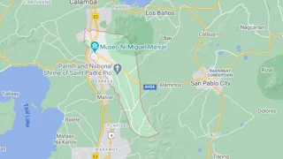
The City of Santo Tomas is a 1 st class component city of Batangas and is also classified as agro-industrial, with its various manufacturin...

The present-day lakeshore town of San Nicolas in Batangas used to be the site of old Taal, until the violent and prolonged eruption of the ...

The Cape Santiago Lighthouse in Calatagan, 1902. Image source: United States National Archives. The Cape or Punta Santiago Lighthouse in ...

The town of Santa Teresita, second smallest in the Province of Batangas, was created in 1961 with land formerly belonging to the towns of Sa...
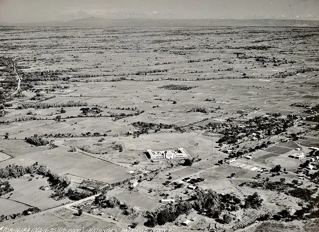
An aerial photograph of the Batangas Provincial Capitol taken in 1935. Image source: United States National Archives. The photograph ab...

The photograph below is of the Filipino aviation hero Jesus Villamor, after whom the present-day Villamor Airbase has been named, and downlo...

The town of San Pascual used to be part of Bauan until it was created as a distinct municipality in 1969. It has a total land area of 5,070...
Tuy is a small town in western Batangas with a land area of 94.65 square square kilometers and a population of 43,743 as per the 2015 Phili...

The photograph below, entitled “Cotton gin, Batangas” has been downloaded from the United States Library of Congress. It shows a woman usin...