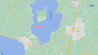
Map of San Nicolas, Batangas
The town of San Nicolas along the shores of Taal Lake — although part of it is on the Main Taal Volcano Island Crater, no less — is the smal...

The town of San Nicolas along the shores of Taal Lake — although part of it is on the Main Taal Volcano Island Crater, no less — is the smal...

In the November 1907 local Philippine elections, one Antonio Loualhati 1 became the duly elected municipal president 2 as certified by th...

Below, a picture of Filipino guerrillas in action against the Japanese in Batangas during World War II. It has been downloaded from the Uni...
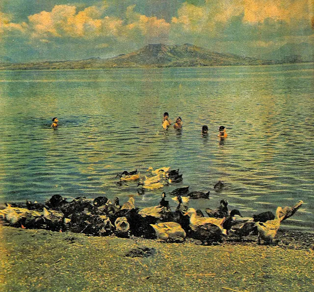
The photograph below has been extracted from an April 1962 edition of The Chronicle Magazine 1 . The copy is part of the Basilio J. Valdez ...
The present-day town of Alitagtag in Batangas used to be part of the older and larger town of Bauan until the year 1910. The previous yea...

The photograph below, entitled “Taal, Volcano” has been downloaded from the United States Library of Congress. It was taken in the year 191...
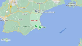
The town of San Juan (formerly San Juan de Bocboc) is the third largest geopolitical subdivision of the Province of Batangas with a total la...

The photograph below was downloaded from the United States National Archives, where it was captioned: “During the bitter fighting east (pro...

A railroad train in Batangas c. 1930. Image source: University of Wisconsin at Milwaukee Digital Library. Colorized courtesy of Algorit...

Formerly known as San Jose Malaquing Tubig, this town used to be part of Bauan until formally separated in 1765. In the present day, it is ...